OCEAN CITY MARYLAND GEOGRAPHY
Ocean City is located at 38°23′29″N 75°04′11″W.[6]
According to the United States Census Bureau, the town has a total area of 36.37 square miles (94.20 km2), of which, 4.41 square miles (11.42 km2) is land and 31.96 square miles (82.78 km2) is water.[1]
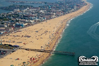
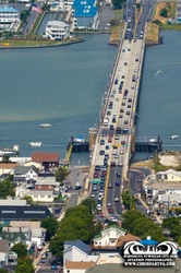
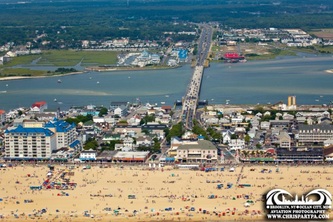
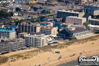
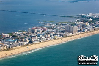
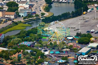
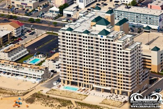
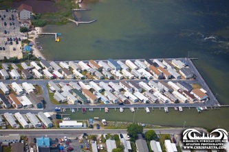
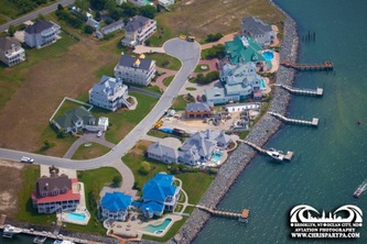
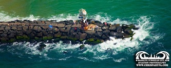
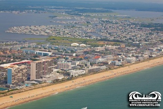
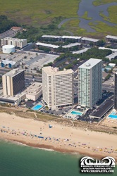
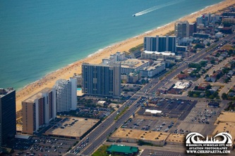
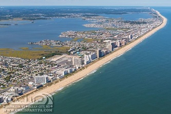
Ocean City is on the barrier spit, which encompasses Ocean City, South Bethany, Delaware, and Fenwick Island, Delaware. Ocean City's southern point is an inlet formed by the 1933 Chesapeake–Potomac hurricane. Rainfall and tides swelled the rivers and bays surrounding Ocean City until the overflowing water cut a 50 foot crevasse from the bay to the ocean. Ocean City businessmen had long sought funding to create an inlet to support a harbor, so residents seized upon the opportunity and built jetties to ensure the city's land remained divided from what is now Assateague Island.[7]
References
1. ^ a b "US Gazetteer files 2010". United States Census Bureau. Retrieved 2013-01-25.
7. ^ "Reborn in a Hurricane". www.baltimoresun.com (The Baltimore Sun). Retrieved 2009-08-31.
1. ^ a b "US Gazetteer files 2010". United States Census Bureau. Retrieved 2013-01-25.
7. ^ "Reborn in a Hurricane". www.baltimoresun.com (The Baltimore Sun). Retrieved 2009-08-31.


