Ocean City, Maryland Weather
Beach-day tools for sand and Boardwalk, marine tools for boat go/no-go, then longer forecasts and climate when you need the week, not the next hour. Confirm the National Weather Service Wakefield forecast the morning you go—this hub is planning context, not a live weather service.
Jump to today’s forecast, the 10-day outlook, wind, waves, tides, SST, radar, and more—or open the Weather hub.
Beach-day weather
Sand, Boardwalk, and swim comfort—start with Today’s or Beach Weather.



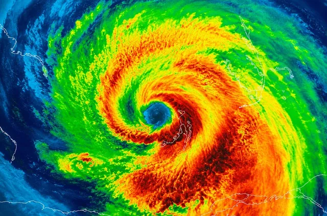
Marine & fishing weather
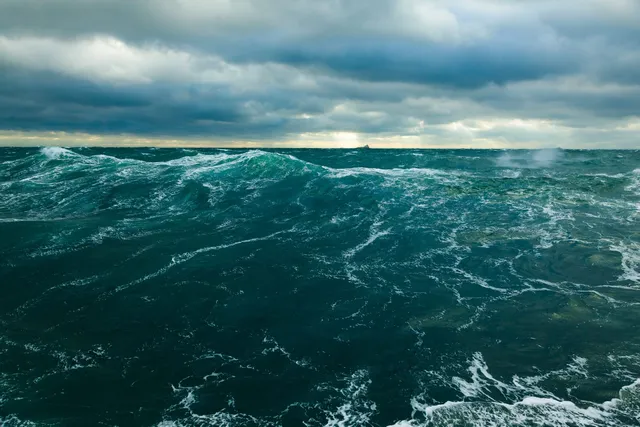
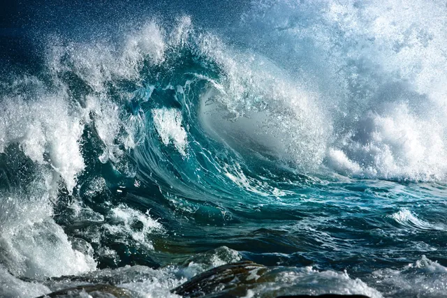
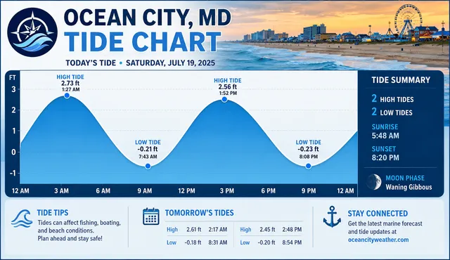
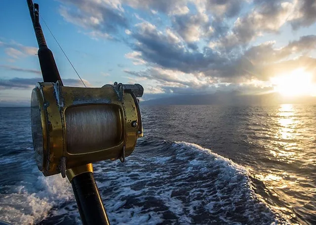
Boat go/no-go—wind, waves, tides, and inshore/offshore stacks. Captains and NWS still own the call.

Forecasts & maps
Multi-day outlooks, compare sources, and the full maps console.
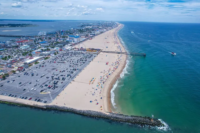
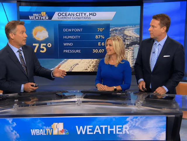


Climate & tide planning
Week-to-season framing—pair the tide guide with live charts above, not instead of them.
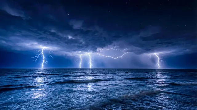


Summer brings heat, UV, sea breezes, and pop-up thunderstorms. Late summer–fall overlaps hurricane season (usually swell and rip risk more than direct hits). Winter and shoulder nor’easters can scrub beach and small-boat plans. Always verify NWS for your dates.
Weather FAQs
- Visitor weather vs marine weather—which page do I want?
- Use Today’s Weather or Beach Weather for sand, Boardwalk, and swim comfort. Use the Marine & fishing cards (inshore/offshore, wind, waves, Tide charts, marine updates) when a boat or fishing day is on the line. Climate and the Tide planning guide frame the week; they are not live go/no-go.
- Where should I check the Ocean City forecast first?
- Start with National Weather Service zone and marine/beach-hazard products, then confirm on this site with Today’s Weather, Beach Weather, or Compare Forecasts. Use live webcams when the sky looks undecided—and treat NWS marine wording as the go/no-go stack for boat days.
- What is summer weather like in Ocean City, Maryland?
- Warm to hot air, high humidity, strong UV on open sand, ocean breezes, and a real chance of afternoon thunderstorms—especially mid-to-late summer. Plan shade and hydration, keep a light rain layer, and leave the sand at the first sign of thunder.
- How warm is the ocean water?
- Coolest in late winter and early spring, warming through summer. Comfortable swimming is most common from mid-to-late summer into early fall. Bay water can feel different from the Atlantic on the same day—use the sea temperature tools and Beach Weather page.
- Does Ocean City get hurricanes?
- Yes—Atlantic tropical systems can affect Ocean City during June–November hurricane season, often as swell, wind, rip currents, and coastal flooding even when the center stays offshore. Know watch vs warning, refresh radar, and follow Town emergency guidance when a system is nearby.
- Tide charts vs tide planning guide—which do I need?
- Use Tide charts & stations for live TideGraph/NOAA station tools. Use the Tide planning guide for inlet/bay timing advice, how wind changes a clean table, and charter meet-up context. Most boat and surf days need both.
- Do live webcams replace a forecast?
- No. Webcams show what the camera sees right now—useful when the sky looks undecided, useless as a substitute for NWS products, Beach Patrol flags, or a captain’s marine call. Pair cams with Beach Weather or marine tools, never alone when advisories are up.
- What are Beach Patrol flags and rip currents?
- Flags communicate swimming conditions; rip currents pull seaward and can happen on sunny days with distant swell. Read Beach Patrol posts and the flags & rip currents F.A.Q., and pair with Beach Weather wave/wind tools—never use a sunny webcam alone when advisories are up.
- Why visit in the shoulder season?
- May, September, and October often mean milder crowds and pleasant Boardwalk walks, with more variable swim comfort than peak August. Check the 10-day forecast, sea temperature, and wind before you lock outdoor plans; keep rainy-day ideas ready.
- What are nor’easters and do they affect visits?
- Nor’easters are strong coastal storms that can bring wind, high surf, beach erosion, coastal flooding, and travel impacts—often fall through spring. High-surf and coastal flood advisories are your cue to postpone sand and small-boat plans.
More weather resources
Flags, travel realism, official portals, Assateague pairing, and fishing when marine weather decides the day.
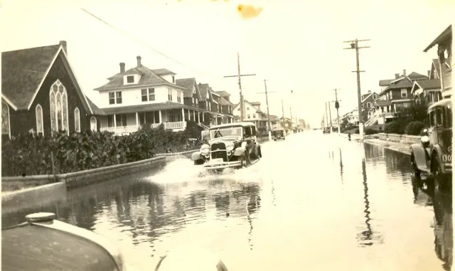

Beach Blog on Weather
Trip reads written for this hub—pacing and advice, not a second directory.