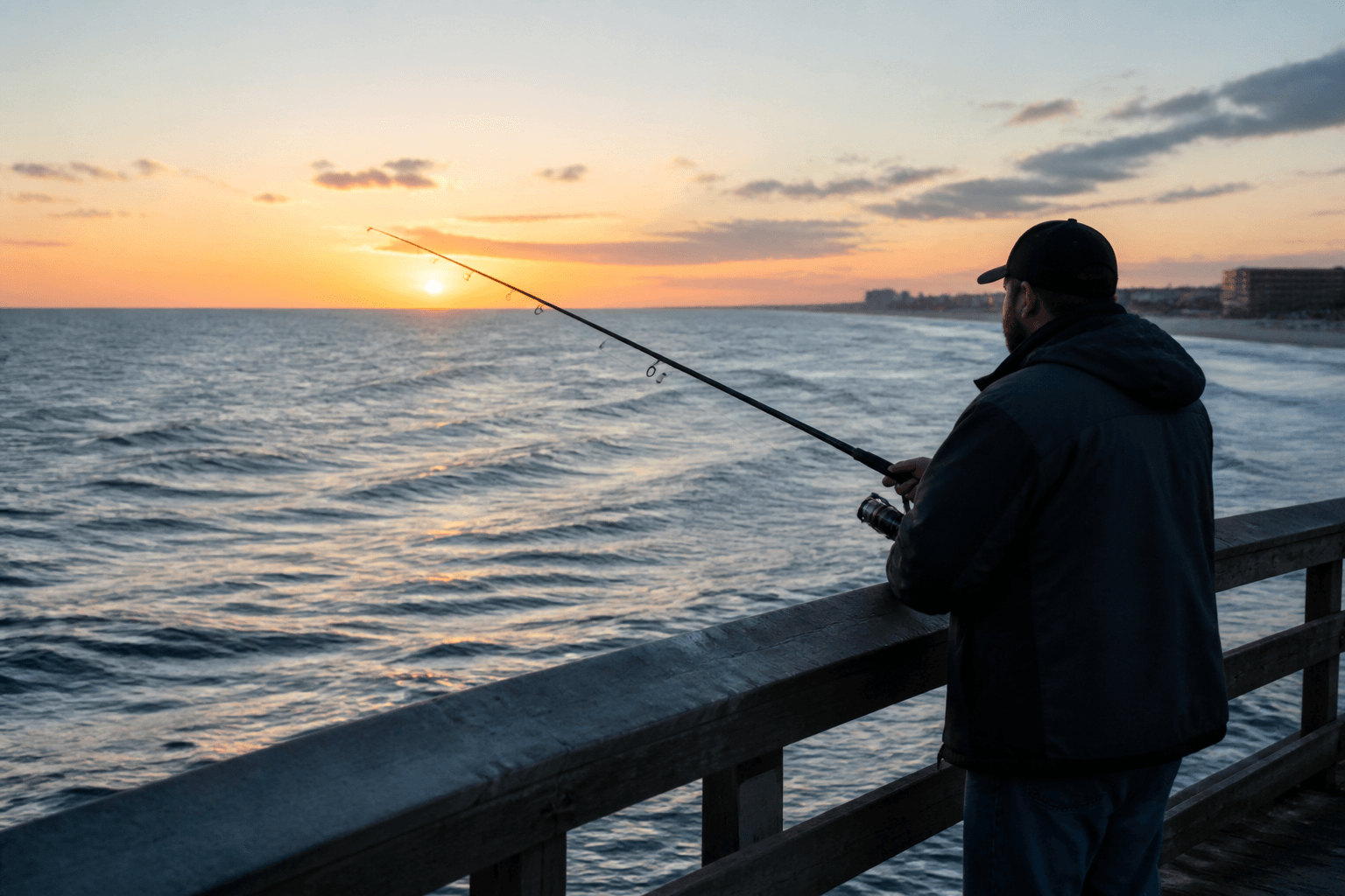
Ocean City Inlet
Ocean City inlet & jetties
Primary NOAA active gauge for inlet crossings, jetty fishing, and bar timing.
NOAA predictionsOcean City, Maryland tide charts for every local station: Ocean City Inlet, Isle of Wight Bay, Fishing Pier, Assateague / Sinepuxent, Little Assawoman, Indian River Inlet, and more—with TideGraph tools and NOAA links. For planning prose, see the Tide planning guide.
Jump to today’s forecast, the 10-day outlook, wind, waves, tides, SST, radar, and more—or open the Weather hub.
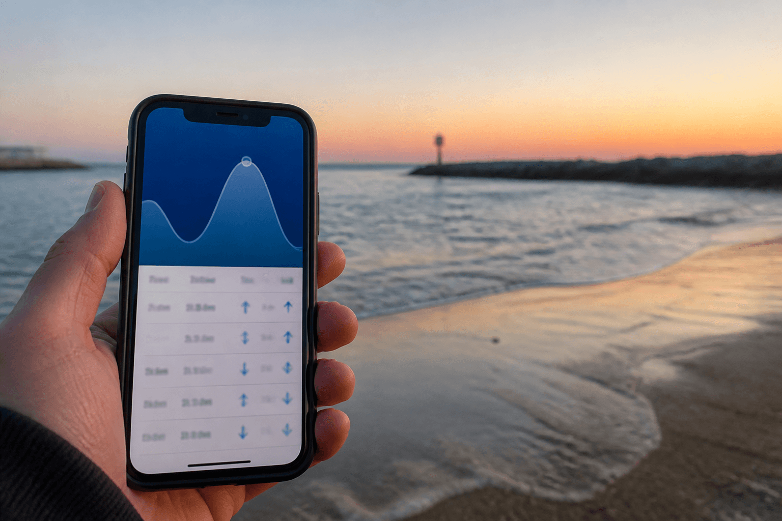
This page is the live clock for Ocean City tides—TideGraph panels and NOAA station links. For editorial timing advice (how wind stacks a clean table, charter meet-ups), use the separate Tide planning guide. A single generic “Ocean City” tide app can be wrong for your exact water: the Ocean City Inlet, Isle of Wight Bay, the fishing pier, Sinepuxent / Assateague, and nearby Delaware bays each have their own NOAA prediction points.
Also read tides & inlet safety. Pair slack and max-flood with wind and waves before you promise a calm harbor cruise that is actually a tide-rip day at the mouth. Visitor beach comfort still starts on Beach Weather; this station page is for the marine clock.
Official predictions come from NOAA CO-OPS. Open the NOAA link for the station that matches your beach, ramp, or inlet—not the closest name on a phone widget.
Jump to live TideGraph panels under Live tools for every station marked with a chart on this page. Stations without a widget still have NOAA prediction links in the full directory list.
Charter and head-boat crews still own final go/no-go. When stakes are high, cross-check TideGraph against NOAA predictions and your captain’s briefing. Re-run species plans on plan a fishing day when tide windows shrink, and keep marina parking in the same thread.
Every NOAA and TideGraph location used for Ocean City, Maryland beach, bay, inlet, Assateague, and nearby Delaware waters. Open NOAA for official tables; stations with charts also appear in Live tools below.
Ocean City inlet & jetties
Primary NOAA active gauge for inlet crossings, jetty fishing, and bar timing.
NOAA predictionsOcean City oceanfront
Ocean-side pier / surf reference near the south end of the island.
NOAA predictionsIsle of Wight Bay — mid-town
Bayside Ocean City benchmark—use for harbor and mid-island bay ramps.
NOAA predictionsIsle of Wight Bay
Additional Isle of Wight Bay prediction point for back-bay routes.
NOAA predictionsIsle of Wight Bay — north
Legacy upper-bay TideGraph pin—times often lag the inlet vs. mid-town.
Isle of Wight Bay — west OC
Legacy mid-bay TideGraph pin near West Ocean City marina corridors.
Sinepuxent Bay approaches
Legacy south-end TideGraph pin for south-island and Assateague approaches.
Sinepuxent Bay / Assateague
Key Assateague / Sinepuxent prediction—do not use a mid-town OC table alone.
NOAA predictionsNorth of OC — Delaware bays
North-end / Fenwick–Bethany bay waters often used by OC week visitors.
NOAA predictionsDelaware — Indian River Inlet
Busy DE inlet north of Ocean City—common day-trip and trailer reference.
NOAA predictionsDelaware — Indian River
Indian River up-bay prediction near Rosedale Beach.
NOAA predictionsWorcester County bays
Mainland Worcester public landing—different curve than the Ocean City Inlet.
NOAA predictionsWorcester County bays
Southern Worcester bay prediction point.
NOAA predictionsPocomoke / upper Worcester
Inland Worcester tide prediction—useful for Pocomoke-area trips from OC.
NOAA predictionsChincoteague Bay (VA line)
Southern Chincoteague Bay side—use when ranging far south of Assateague.
NOAA predictionsChincoteague, Virginia
Virginia barrier-island reference for Assateague south / Chincoteague day trips.
NOAA predictionsSource: Weather copy, section art, and live widgets below were migrated from the owner’s legacy Ocean City Fish WordPress weather hub (same wording where it appeared on those pages). Pit-stop links now land on OCEANCITY.MD guides.
Primary NOAA active gauge for inlet crossings, jetty fishing, and bar timing.
Ocean-side pier / surf reference near the south end of the island.
Bayside Ocean City benchmark—use for harbor and mid-island bay ramps.
Additional Isle of Wight Bay prediction point for back-bay routes.
Legacy upper-bay TideGraph pin—times often lag the inlet vs. mid-town.
Legacy mid-bay TideGraph pin near West Ocean City marina corridors.
Legacy south-end TideGraph pin for south-island and Assateague approaches.
Key Assateague / Sinepuxent prediction—do not use a mid-town OC table alone.
North-end / Fenwick–Bethany bay waters often used by OC week visitors.
Busy DE inlet north of Ocean City—common day-trip and trailer reference.
Mainland Worcester public landing—different curve than the Ocean City Inlet.
Trip reads written for this hub—pacing and advice, not a second directory.