Ocean City Inlet
Primary NOAA active gauge for inlet crossings, jetty fishing, and bar timing.
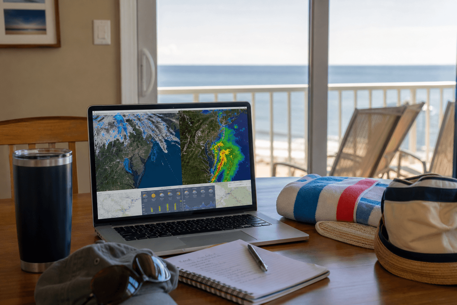
Ocean City, Maryland Weather: live radar, wind, waves, tides, sea temperature, cloud cover, and marine forecasts for beach days, fishing, boating, and boardwalk plans.
Jump to today’s forecast, the 10-day outlook, wind, waves, tides, SST, radar, and more—or open the Weather hub.
This page is the full maps console—every overlay in one place. It is not the visitor-only Beach Weather page and not the climate or tide-planning guides. The town sits on a narrow barrier island between the Atlantic Ocean and Isle of Wight Bay, so beach, boardwalk, inlet, and back-bay conditions can diverge in the same afternoon. Live tools here: radar, wind, waves, tides, sea temperature, air temperature, cloud cover, plus inshore and offshore stacks.
Start from the Weather hub if you need the visitor vs marine vs climate crosswalk. Prefer one shared link for your group? Stay here and scroll the embeds under Live tools. For a same-day sand plan without the full console, open Today’s Weather or Beach Weather.
Start with radar on humid summer days, then match the water you will actually use:
National Weather Service marine zones, NOAA buoys, and your captain still win go/no-go calls. OCEANCITY.MD organizes trusted entry points so visitors and locals plan Ocean City, Maryland Weather with fewer dead ends. For multi-day heat, thunderstorms, and hurricane season habits, open climate & storms. When cells scrub the beach plan, pivot to rainy day ideas.
Live widgets below include WillyWeather-style inshore checks, Windy overlays for radar, wind, waves, clouds, air temperature, and SST, TideGraph charts for three Ocean City–area tide pins, and an offshore stack for longer Atlantic runs. Source notes credit the legacy Ocean City Fish weather hub migration. Staging from a marina? Keep Ocean City marinas and bridge buffer travel tips in the same thread as your forecast tabs.
Source: Weather copy, section art, and live widgets below were migrated from the owner’s legacy Ocean City Fish WordPress weather hub (same wording where it appeared on those pages). Pit-stop links now land on OCEANCITY.MD guides.
Quick index to the same live consoles Ocean City Fish ran under “weather-Data Maps”—scroll the dedicated tool pages, or use the full onboard console stacked on this page.






Primary NOAA active gauge for inlet crossings, jetty fishing, and bar timing.
Ocean-side pier / surf reference near the south end of the island.
Bayside Ocean City benchmark—use for harbor and mid-island bay ramps.
Additional Isle of Wight Bay prediction point for back-bay routes.
Legacy upper-bay TideGraph pin—times often lag the inlet vs. mid-town.
Legacy mid-bay TideGraph pin near West Ocean City marina corridors.
Legacy south-end TideGraph pin for south-island and Assateague approaches.
Key Assateague / Sinepuxent prediction—do not use a mid-town OC table alone.
North-end / Fenwick–Bethany bay waters often used by OC week visitors.
Busy DE inlet north of Ocean City—common day-trip and trailer reference.
Mainland Worcester public landing—different curve than the Ocean City Inlet.
Trip reads written for this hub—pacing and advice, not a second directory.